How it’s built
The site of S/Y Celestine, a crewed catamaran chartering in the US and British Virgin Islands. Designed and built by Jamie Still.
- Hosted on Cloudflare Pages
- The site is static files: no server, no database, and nothing to run before it's served. A push to the repository is a deploy.
- No analytics
- No analytics, no cookies, no tracking pixels, and no consent banner to dismiss, because nothing here needs your consent. Nothing records who you are, and nothing follows you when you leave.
- What your browser does contact
- Open-Meteo, for the weather conditions in the footer, which needs no key and sets no cookie. The 360° tour loads from Kuula when you scroll to it, and the two tour videos load from YouTube only once you press play. That is the whole list. The typefaces are served from here, and so are the photographs in the log and the ones guests sent with their reviews, so neither Google nor Instagram nor the broker's listing hears anything about you unless you follow a link to it.
- What keeps itself up to date
- Three things are fetched on a schedule rather than while you read: the booked and open weeks in the calendar, from the broker's booking system, once a day; the log, from Instagram, once a day; and the reviews, with the photographs beside them, from Celestine's broker listing, once a month. Each is written into the site's repository as an ordinary file, and the same push that saves it publishes the site.
- Accessibility
- Built to WCAG 2.2 Level AA. Color contrast is measured against the shipped values rather than estimated. Every dialog traps the keyboard and hands focus back where it found it. No state is carried by color alone. Small targets keep a 44-pixel hit area whatever size they are drawn. Every animation has a counterpart for anyone who has asked for reduced motion.
Type and icons
Two typefaces, both open source, and one borrowed set of pictograms.
- Cormorant Garamond
- The serif, for everything the site would say out loud. Designed by Christian Thalmann, from Google Fonts under the SIL Open Font License and served from this site, so no visitor's browser has to contact a third party for a letter.
- Jost
- The sans, for everything you read, count, or annotate. Designed by Owen Earl, from Google Fonts under the same license, and served the same way.
- The activity pictograms
- The 13 symbols in the itinerary legend are by Luis Prado on the Noun Project. The whole set, as the sample itineraries use it:
- The mark
- Two blues that belong to the artwork rather than to the site's palette: #1F2B5B for the rays and the wordmark, #1E5C9F for the water under them. On a dark field the whole mark is Sea Glass, #C3E3EB.

Photography and drawings
Most of the photographs here are of Celestine, taken for the yacht and © Celestine Leisure Group, LLC. These are the ones that came from somewhere else. The three from Unsplash are each used under the Unsplash License.
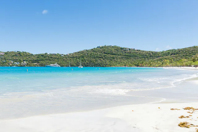
The homepage header
Magens Bay, St. Thomas, by Toni Osmundson on Unsplash.
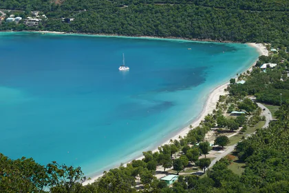
The US Virgin Islands card and page
Magens Bay again, from the water, by Island Guides on Unsplash.
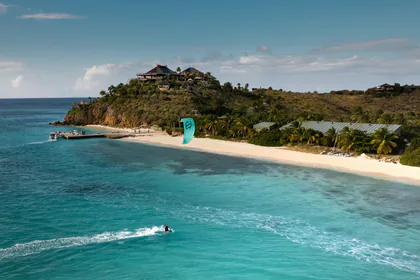
The British Virgin Islands card and page
Necker Island, by Nick Rickert on Unsplash.
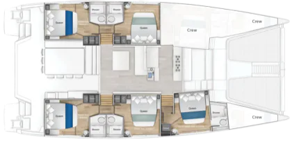
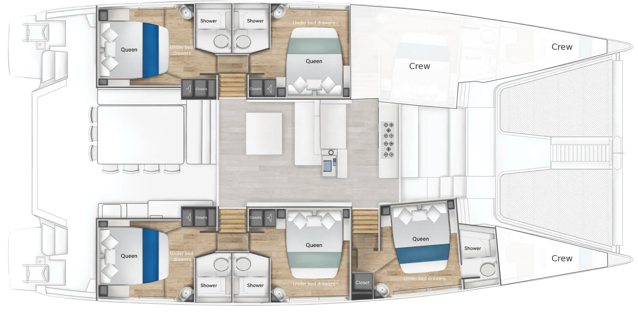
The deck plan
Drawing © Voyage Yachts, South Africa, who built the yacht.
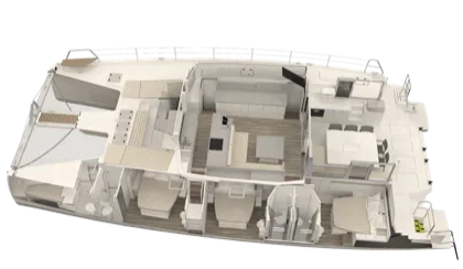
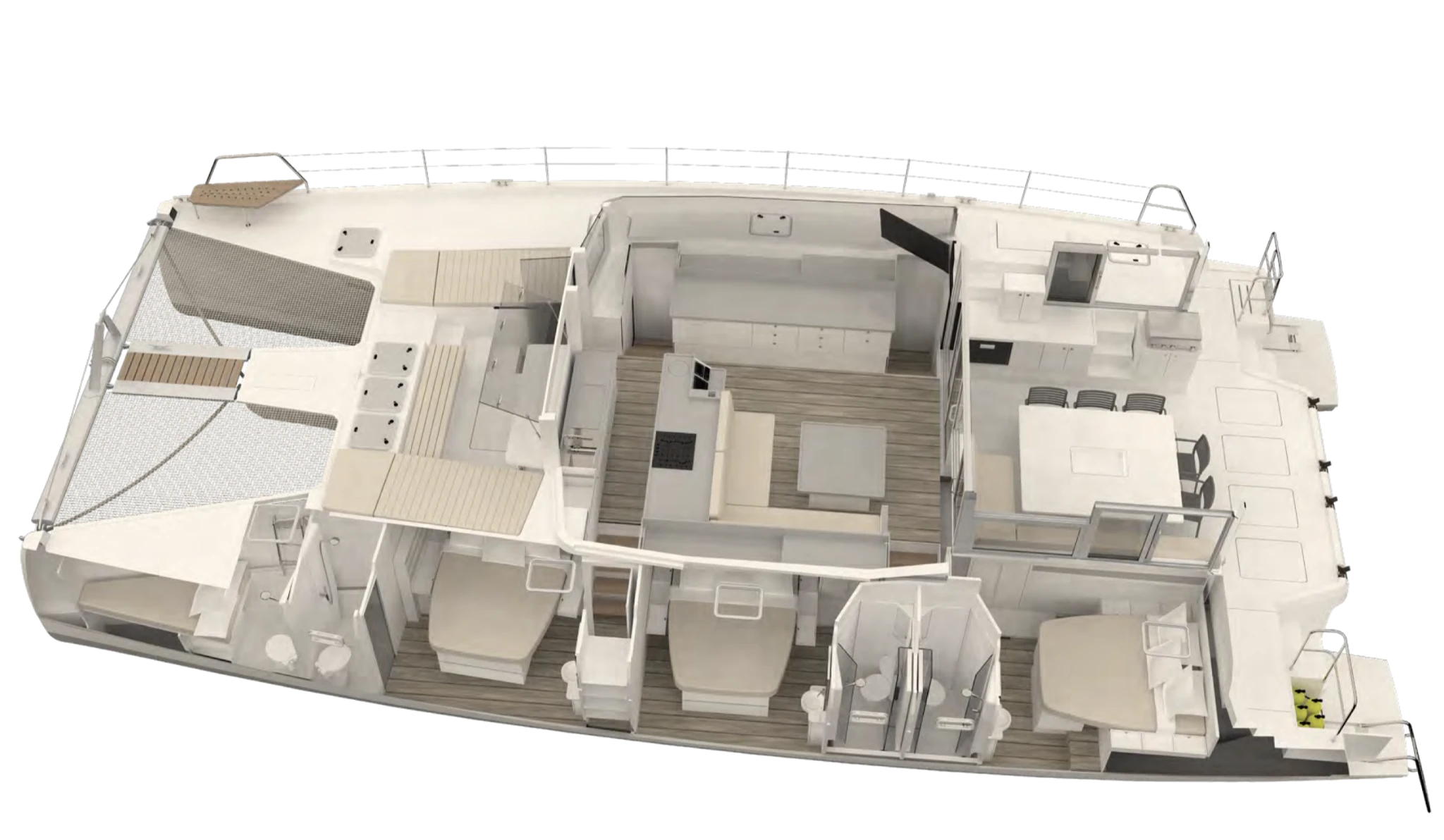
The cutaway
Drawing © Voyage Yachts, showing the arrangement below.

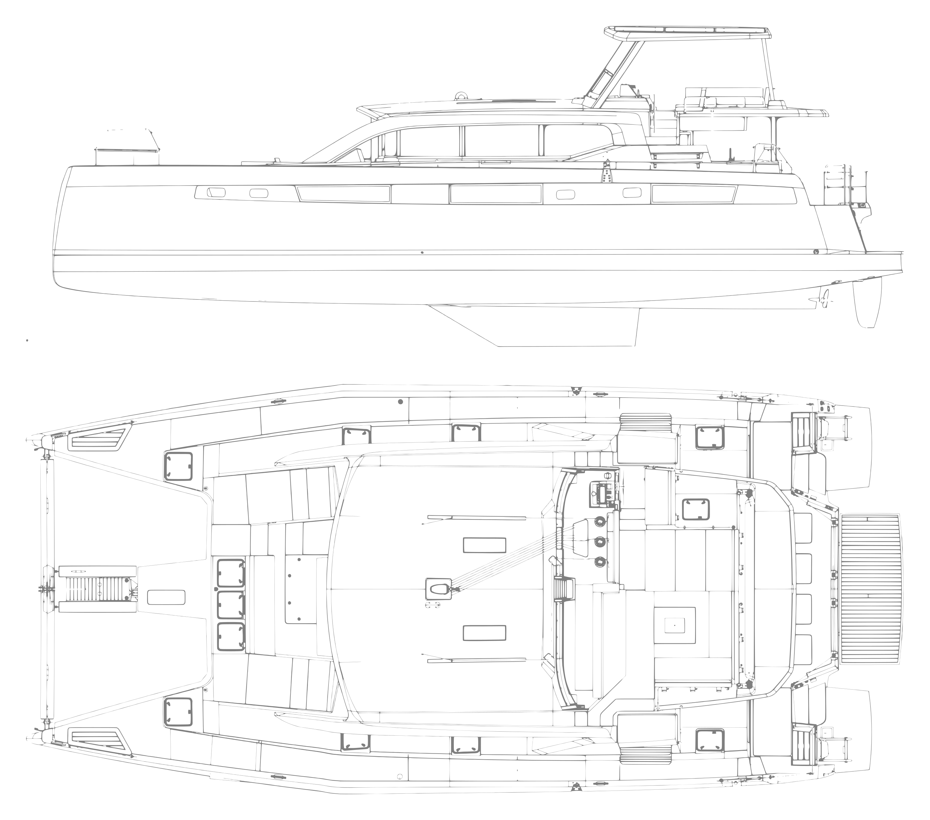
The drawing behind the layout section
Voyage Yachts' orthographic views of the hull, © Voyage Yachts, altered and enhanced by Jamie Still for use as a background.
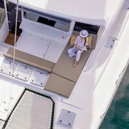
The tri-fold brochure cover
Photograph © Voyage Yachts, on the cover of the printed tri-fold.
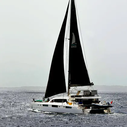
Celestine under sail
Photograph by Eric Warner. Used on the homepage, on the itineraries page, in link previews, and in both brochures.
Everything else
Celestine's own photographs: the gallery, the cabins, the galley, the water toys, and the crew. The photographs beside the reviews are the guests' own, taken during their week aboard and published with what they wrote.
Charts, imagery, and data
The charts are drawn here. The world under them isn’t.
- The coastline
- Every chart on the site is one drawing of the Virgin Islands coastline, traced from OpenStreetMap and cropped to each chart's window. © OpenStreetMap contributors, under the Open Database License.
- The satellite plates
- Aerial photography flown for the USGS and USDA National Agriculture Imagery Program, which is public domain, and Sentinel-2 cloudless by EOX IT Services GmbH (contains modified Copernicus Sentinel data 2019), used under CC BY-NC-SA 4.0. The plates adapted from it are offered under that same license. Each chart page names the sources its own plates came from.
- The weather conditions in the footer
- Read from Open-Meteo for Tortola, St. Thomas, and St. John, in your browser, every 15 minutes.
- The calendar and the log
- The availability calendar is read once a day from Celestine's listing on Charter Smarter. The log is the latest posts from @yachtcelestine, copied here as they're posted.
One of four reference pages, with the style guide and the code reference for the JavaScript and CSS a browser is served. All four are written from the source rather than by hand.