The British Virgin Islands

Sixty islands and cays around a sheltered channel, with an anchorage for every mood: a floating bar at Norman Island, the boulders of the Baths, the lagoon at North Sound, and Anegada's lobster at the far end.

Anchorage by anchorage

Numbered on the chart and described below, roughly in the order you might sail them. Hover a name to find it on the chart.

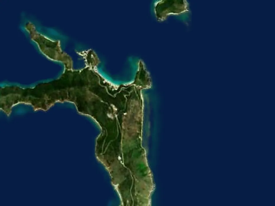
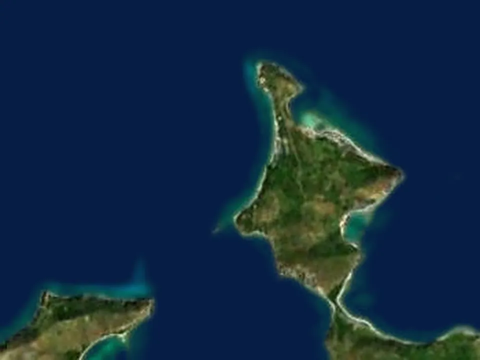
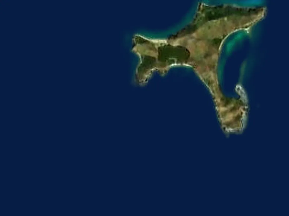
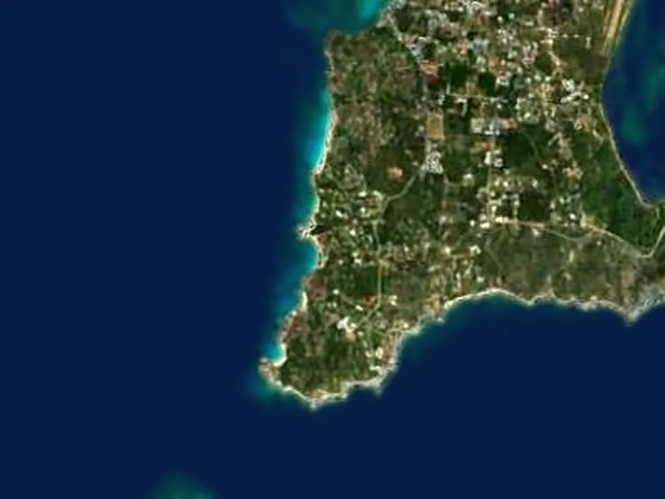
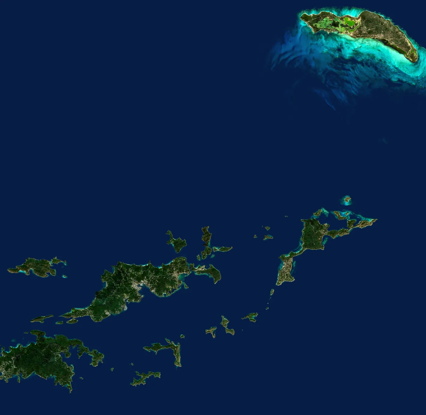
Satellite view of the British Virgin Islands
123456789101112
Coastline from OpenStreetMapNot for navigation

Drag the chart to pan

  1. Soper's HoleTortola · West End
  2. Norman IslandThe Bight
  3. The IndiansOff Pelican Island
  4. Peter IslandDeadman's Bay
  5. Cooper IslandManchioneel Bay
  6. Salt IslandWreck of the Rhone
  7. The Baths & Spanish TownVirgin Gorda
  8. North SoundVirgin Gorda
  9. AnegadaSetting Point · Loblolly Bay · Cow Wreck
  10. Cane Garden BayTortola
  11. Jost Van DykeWhite Bay · Great Harbour
  12. Marina Cay & Trellis BayBeef Island
Satellite view of Soper's Hole
1
Chart inset18°23.2′N 64°42.2′W

Soper's Hole

Tortola · West End

The gateway to the British Virgin Islands: we clear in with customs and immigration here, then lunch on the waterfront among the pastel shops before carrying on into the channel. A deep, sheltered harbor with the ferry to St John on its doorstep.
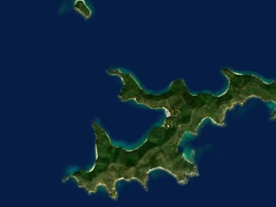
Satellite view of Norman Island
2
Chart inset18°19.0′N 64°37.1′W

Norman Island

The Bight

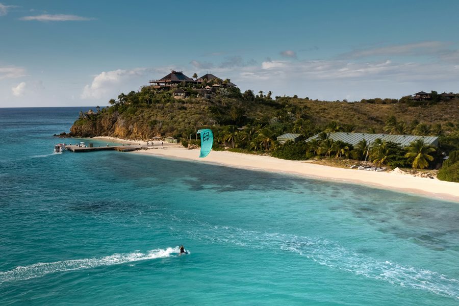
The island said to have inspired Treasure Island, and still the most fun night in the islands. Snorkel the Caves at the western point, jump from the deck of the Willy T, the floating bar anchored in the Bight, and go ashore for dinner at Pirate's Bight on the beach.

Satellite view of The Indians
3
Chart inset18°19.9′N 64°37.8′W

The Indians

Off Pelican Island

Four rock pinnacles rising out of the sea between Norman Island and Pelican Island, ringed by coral in less than 30 feet of water. Not an overnight anchorage but the snorkel stop everyone remembers, and usually on the way to somewhere else.

Satellite view of Peter Island
4
Chart inset18°21.4′N 64°34.3′W

Peter Island

Deadman's Bay

A long white beach on the north shore of a mostly private island, facing Tortola across the channel. Calm water for swimming and paddleboarding, a short walk over the hill for the view, and quiet at night.

Satellite view of Cooper Island
5
Chart inset18°23.1′N 64°30.9′W

Cooper Island

Manchioneel Bay

A one-beach island with a beach club, a rum bar, and turtles grazing in the seagrass under the moorings. An easy stop on the way up the Sir Francis Drake Channel, and a favorite for dinner ashore under the palms.

Satellite view of Salt Island
6
Chart inset18°22.1′N 64°32.1′W

Salt Island

Wreck of the Rhone

The RMS Rhone went down off Salt Island in the hurricane of 1867 and is the Caribbean's best-known wreck dive. The bow lies in 80 feet of water; the stern is shallow enough to snorkel over from the dinghy.

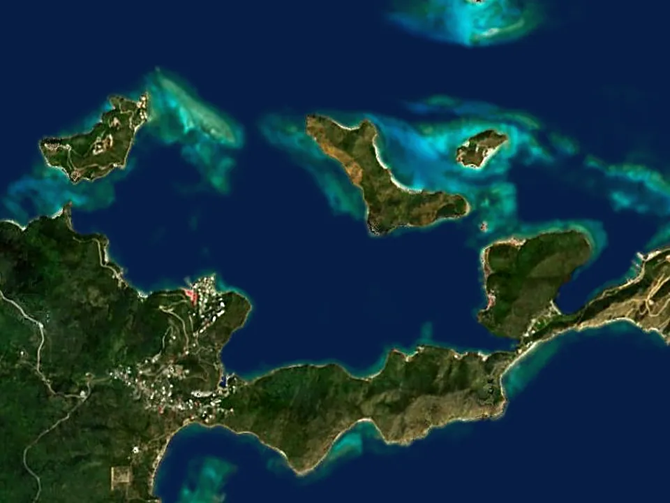
Satellite view of The Baths and Spanish Town
7
Chart inset18°25.8′N 64°26.9′W

The Baths and Spanish Town

Virgin Gorda

Giant granite boulders piled along the shore, forming grottoes, tunnels, and sea-filled pools to swim and scramble through on the trail to Devil's Bay. Spanish Town is a short way up the coast, for dinner ashore at CocoMaya.

Satellite view of North Sound
8
Chart inset18°30.0′N 64°21.6′W

North Sound

Virgin Gorda

A great sheltered lagoon at the top of Virgin Gorda, with the Bitter End Yacht Club, Saba Rock, Leverick Bay, and the beach on Prickly Pear all a dinghy ride apart. Flat water for paddleboarding, docks to step ashore from, and the place for an evening that calls for a celebration.

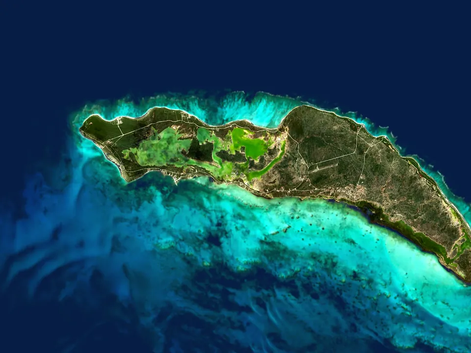
Satellite view of Anegada
9
Chart inset18°43.2′N 64°23.0′W

Anegada

Setting Point · Loblolly Bay · Cow Wreck

The outlier: a flat coral island ringed by reef, a three-hour sail north of everything else and unlike anywhere else in the group. Anchor at Setting Point, rent a vehicle for the empty beaches at Loblolly Bay and Cow Wreck, and come back for lobster dinner ashore at the Lobster Trap.

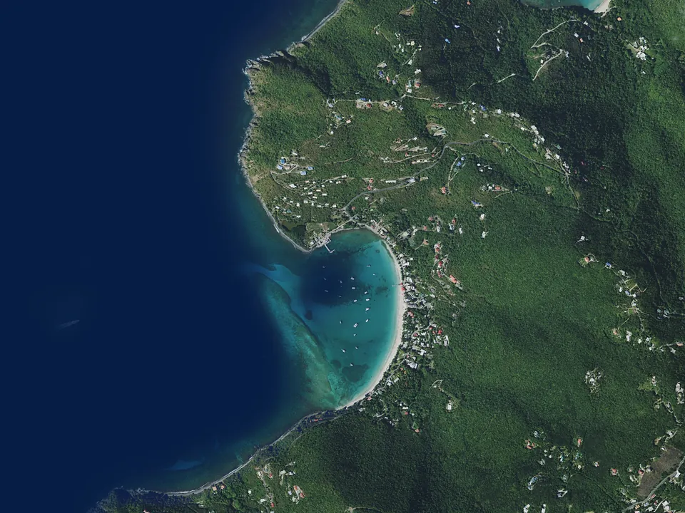
Satellite view of Cane Garden Bay
10
Chart inset18°25.6′N 64°39.7′W

Cane Garden Bay

Tortola

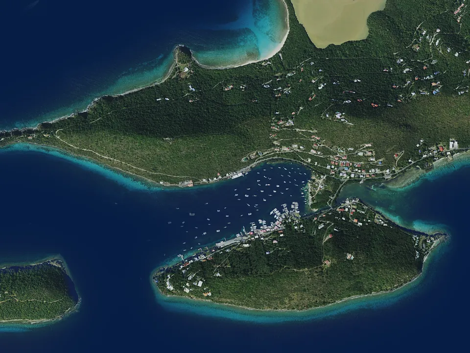
Tortola's best-known beach: a long curve of sand with beach bars, music in the evening, and the Callwood rum distillery a short walk inland. Downwind from Anegada, it makes a relaxing landfall after the longest sail of the week.

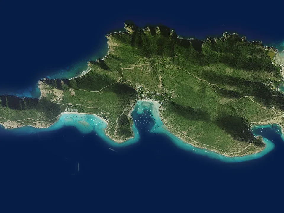
Satellite view of Jost Van Dyke
11
Chart inset18°26.4′N 64°45.7′W

Jost Van Dyke

White Bay · Great Harbour

White Bay is the beach of the Soggy Dollar Bar, where the Painkiller was invented and where you still swim ashore to pay for it. Great Harbour, next door, is Foxy's. Sandy Spit and the Bubbly Pool are a short hop east for the morning.

Satellite view of Marina Cay and Trellis Bay
12
Chart inset18°27.7′N 64°31.7′W

Marina Cay and Trellis Bay

Beef Island

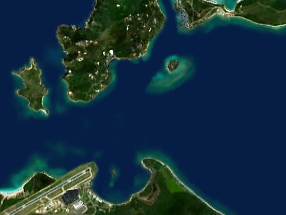
A tiny island anchorage at the eastern end of Tortola, with a beach and a bar on the cay, and Trellis Bay next door with its artists' studios and the fireball sculptures that burn at the full-moon party. Handy for guests joining or leaving through Beef Island airport.

The chart above and each inset open onto a satellite view of the same water: drag the divider across it. Coastline from OpenStreetMap. Imagery is Sentinel-2 cloudless by EOX IT Services GmbH (contains modified Copernicus Sentinel data 2019), used under CC BY-NC-SA 4.0; and aerial photography flown in 2018 for the USGS and USDA National Agriculture Imagery Program, which is public domain. The open sea is toned to match the chart. None of it is for navigation.

S/Y Celestine at anchor
Celestine at anchor

Between the anchorages

The channel, the trade winds, and the clearance stops: the practical side of a British Virgin Islands week.

Distances
Most legs are one to three hours inside the Sir Francis Drake Channel, sheltered by the islands on both sides. Anegada is the exception: three hours or so out across open water, and a long, easy downwind sail back.
Clearing in
The British Virgin Islands are a separate country from the USVI. We clear in with customs and immigration at West End on the way in, usually over lunch, and back into the United States at Cruz Bay on the way home. Bring your passports.
Wind and weather
The easterly trade winds blow most days, which is what makes the sailing here so good: a beam reach up the channel and a downwind run home. The captain adjusts the plan around the forecast as the week unfolds.
Starting from the BVI
Ask about weeks that begin and end in Tortola. The sample itineraries show a week that leaves from St Thomas and crosses over on the first day.

Begin planning your Celestine voyage

Connect with a knowledgeable broker who can get you on board Celestine right away. Your future self thanks you.

Call Email Book