Two weeks we've actually sailed
Every charter aboard Celestine is planned around the people on board, so no two weeks are alike. These two passage plans are drawn from real charters, one of seven nights and one of four, to show the shape a week can take: where you'll anchor, how long you'll be under sail, and what's waiting ashore.
Drag the chart to pan
Seven nights: the grand tour
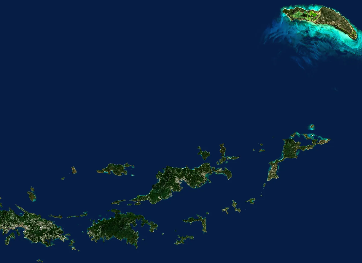
Saturday to Saturday, from St Thomas out to the far end of the British Virgin Islands and back: the Baths, North Sound, Anegada's lobster, a long downwind sail to Cane Garden Bay, and the Soggy Dollar on the way home.
- 7Nights aboard
- 8Legs
- 16 h 45 minUnder sail, all week
- 4 h 30 minLongest leg
-
Day 1
SaturdayCharlotte Amalie to Norman Island
1 h under sailWelcome to the Virgin Islands. After everyone is aboard, we hold a short safety briefing and set sail for Norman Island: snorkeling at the Caves, then an evening at the Willy T, the floating bar in the Bight.
-
Day 2
SundayNorman Island to The Baths, Virgin Gorda
3 h under sailWe head for the Baths for light swimming and a hike through the granite boulders, then on to Spanish Town for dinner ashore at CocoMaya.
-
Day 3
MondayThe Baths to North Sound
1 h 30 min under sailWe sail around the northern tip of Virgin Gorda into North Sound for beach time, then an evening to celebrate at the Bitter End Yacht Club or Saba Rock.
-
Day 4
TuesdayNorth Sound to Anegada
3 h 15 min under sailWe set sail for Anegada, the flattest and most unusual island in the archipelago. We rent vehicles for a tour around the island, then a lobster dinner ashore at the Lobster Trap.
-
Day 5
WednesdayAnegada to Cane Garden Bay
4 h 30 min under sailA long, easy morning sailing downwind to Cane Garden Bay. Try some light water sports and unwind on the beach.
-
Day 6
ThursdayCane Garden Bay to Jost Van Dyke
1 h under sailAn early sail to White Bay for a relaxing day at the Soggy Dollar Bar. Later we head back toward St John to prepare for the return to the USVI.
-
Day 7
FridayJost Van Dyke to St John and Cruz Bay
1 h under sailA quick clearance through US Customs and Border Protection, then the day is yours: shopping, dining, hiking, or the beaches of St John.
-
Day 8
SaturdaySt John to Charlotte Amalie
1 h 30 min under sailOur voyage comes to an end. After breakfast we head back to Charlotte Amalie and get you on your way to the airport, to start regaining your land legs.
How the week leans
The balance this charter was planned around, from its planning sheet. Yours is drawn to your own taste.
- Snorkeling
- Paddleboarding and water sports
- Beach time
- Sailing time
- Shore activities

Four nights: the long weekend
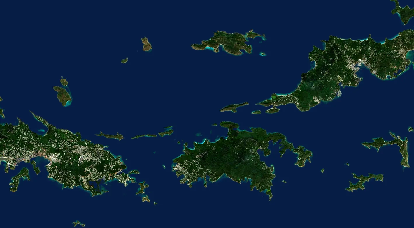
Thursday to Monday: St John's north shore, a clearance stop at West End, the Willy T at Norman Island, the Indians, and the Soggy Dollar Bar, then home by way of Cruz Bay and sundowners at the Windmill Bar.
- 4Nights aboard
- 5Legs
- 9 h 30 minUnder sail, all week
- 2 h 30 minLongest leg
-
Day 1
ThursdayCharlotte Amalie to St John
2 h 30 min under sailWelcome to the Virgin Islands. On arrival, taxi straight to Yacht Haven Grande Marina. When everyone has gathered, we set off for St John.
-
Day 2
FridaySt John to Norman Island
2 h 30 min under sailWe set off in the morning for West End to clear in with the BVI authorities. Lunch there, then on to Norman Island for an afternoon at the Willy T and dinner ashore at Pirate's Bight.
-
Day 3
SaturdayNorman Island to Jost Van Dyke
2 h under sailNext stop is Jost Van Dyke, with a beautiful beach and the famous Soggy Dollar Bar. On the way we stop to snorkel the Indians, four rock pinnacles ringed by coral.
-
Day 4
SundayJost Van Dyke to St John and Cruz Bay
1 h under sailBack to the USVI. We clear customs and immigration in St John, then the afternoon is yours for hiking, shopping, or beach time, and perhaps sundowners at the Windmill Bar for the view.
-
Day 5
MondaySt John to Charlotte Amalie
1 h 30 min under sailOur voyage comes to an end. After breakfast we head back to Charlotte Amalie and get you to the airport to start regaining your land legs.
How the week leans
The balance this charter was planned around, from its planning sheet. Yours is drawn to your own taste.
- Snorkeling
- Paddleboarding and water sports
- Beach time
- Sailing time
- Shore activities
Reading the plan
What the numbers, the tags, and the clearance stops mean, and how a plan like these becomes yours.
- Times under sail
- Each leg's time is the one planned for the original charter, in the usual easterly trade winds. Wind and weather have the final say, and the captain adjusts the plan as the week unfolds.
- Clearing in and out
- The British and US Virgin Islands are separate countries. A week that crosses between them includes a clearance stop each way, typically at West End going in and at Cruz Bay coming home. Bring your passports.
- What the tags mean
- The tags under each day are the notes we plan a charter with: what the anchorage is good for, whether there's a dock, and where a notable bar is worth the dinghy ride. Each pictogram names itself when you hover or tap it. The full set is below.
- Chart and satellite
- Each plan's chart opens onto a satellite view of the same water. Drag the divider across it, or focus the divider and use the arrow keys. Coastline from OpenStreetMap. Imagery is Sentinel-2 cloudless by EOX IT Services GmbH (contains modified Copernicus Sentinel data 2019), used under CC BY-NC-SA 4.0. The open sea is toned to match the chart. None of it is for navigation.
- Making it yours
- Neither plan is fixed. Tell your broker the occasion, the swimmers and the non-swimmers, the early risers and the night owls, and a plan is drawn around them. The anchorages themselves are described on the US Virgin Islands and British Virgin Islands pages.
Begin planning your Celestine voyage
Connect with a knowledgeable broker who can get you on board Celestine right away. Your future self thanks you.